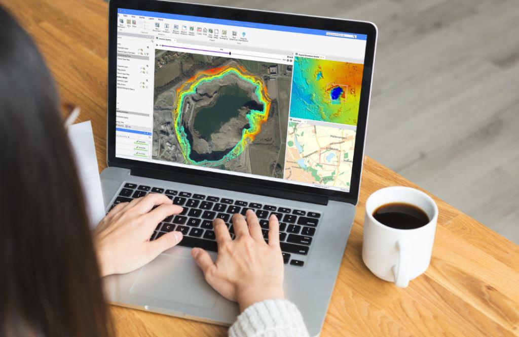
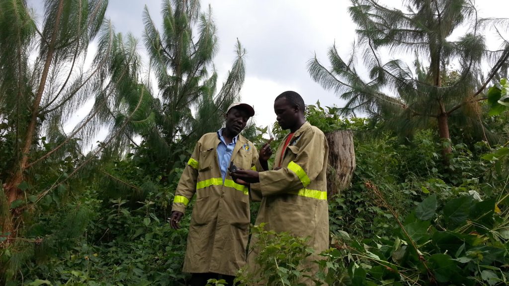
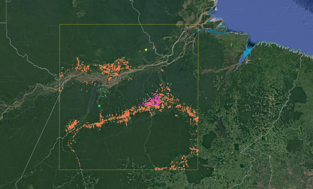
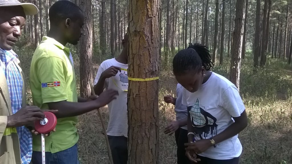
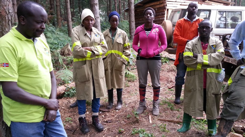
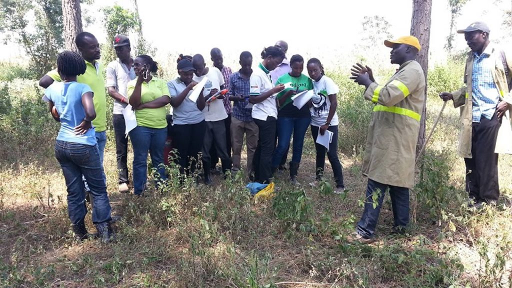
Leverage cutting-edge geospatial technology with our GIS services, including mapping, spatial analysis, and customized training programs. We empower organizations with tools for land-use planning, resource monitoring, and data-driven environmental management through hands-on capacity building.
GIS/Spatial Analysis & Training
Smarter land-use decisions through advanced mapping and analytics.
Overview
Benefits
✅ Smart Land-Use Planning – Optimize forestry, agriculture, and conservation with precise mapping.
✅ Disaster Risk Reduction – Predict floods, fires, and erosion using spatial models.
✅ Real-Time Monitoring – Track illegal logging, deforestation, and land changes remotely.
✅ Capacity Building – Train staff in GIS tools for improved data-driven decisions.
✅ Investor & Donor Reports – High-quality maps and analytics for funding proposals.
