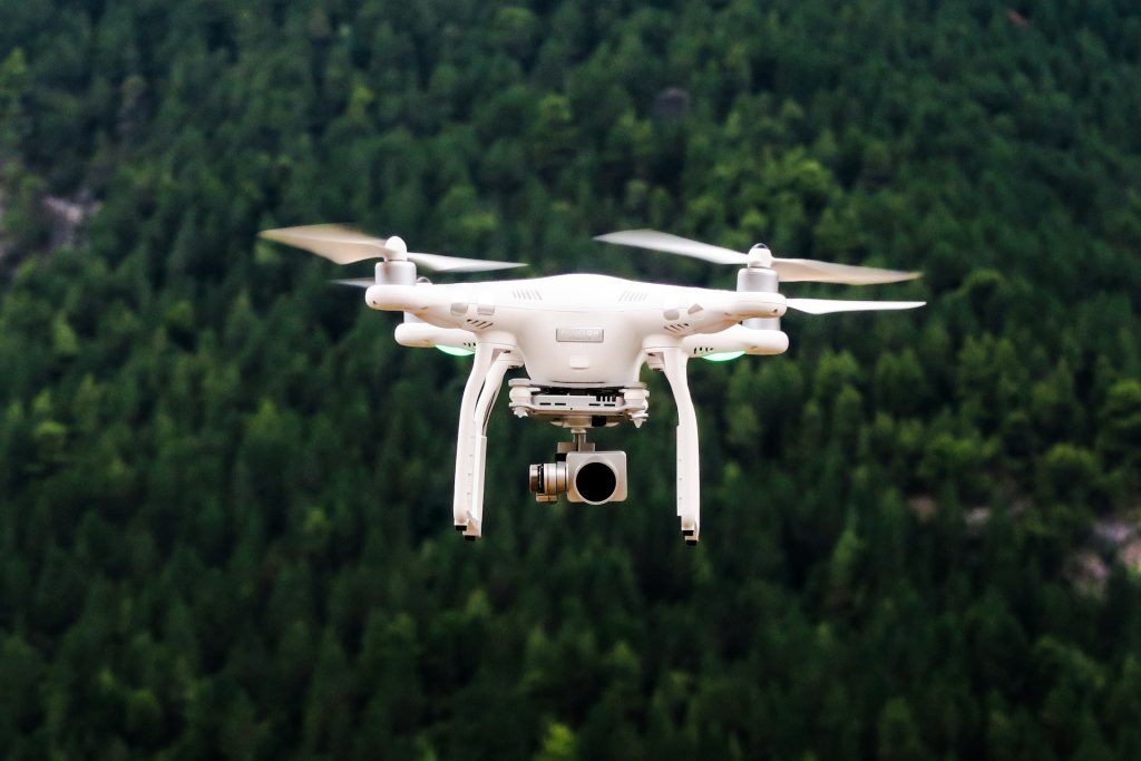
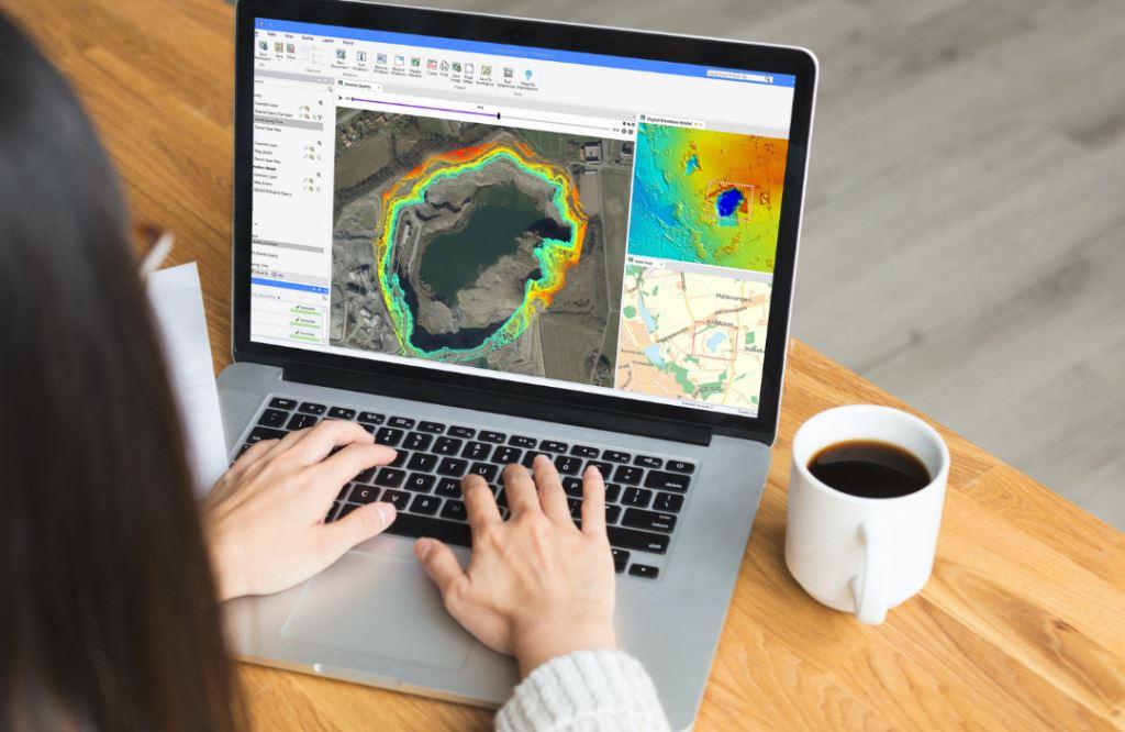
Earth Consult (U) Ltd offers specialized services in drone data capture, training, and analysis for environmental and forestry applications. The process begins with the deployment of drones equipped with high-resolution cameras and sensors to collect aerial data. This data is then processed and analyzed to create detailed maps, models, and reports that support decision-making and planning. The company’s expertise in drone technology allows for the efficient and accurate collection of data in even the most challenging environments.
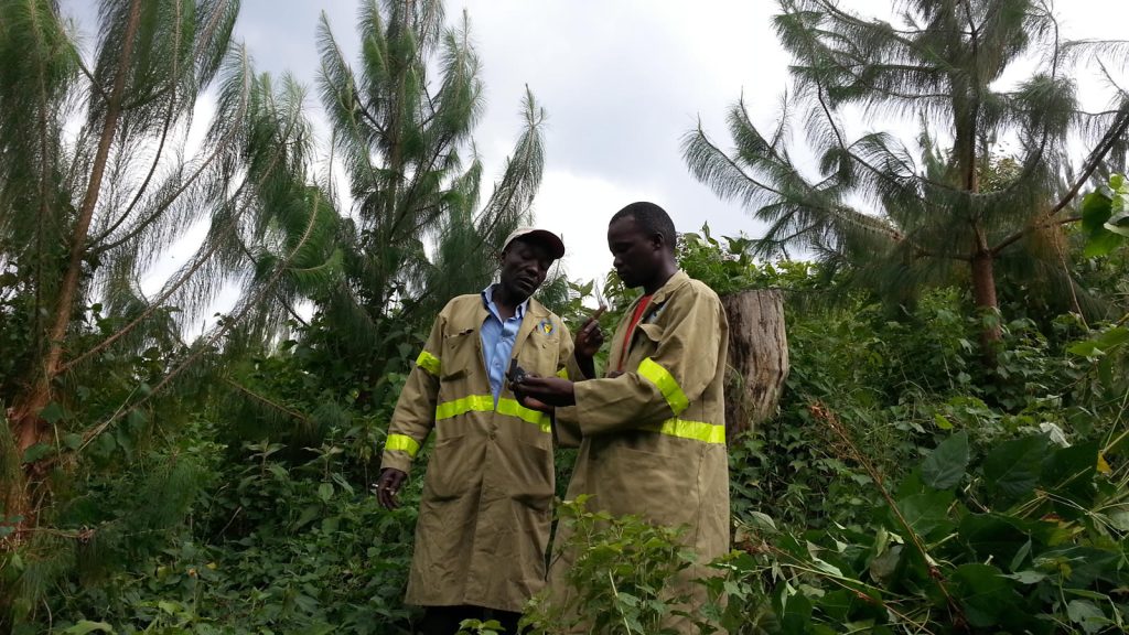
The consultancy provides comprehensive training programs in drone operation, data capture, and analysis. These programs are designed to equip participants with the skills and knowledge needed to operate drones safely and effectively. Participants also receive training in data processing software and techniques, enabling them to analyze and interpret aerial data for various applications. Earth Consult (U) Ltd’s experienced instructors provide personalized guidance and support, ensuring that participants gain practical skills that are directly applicable to their work.
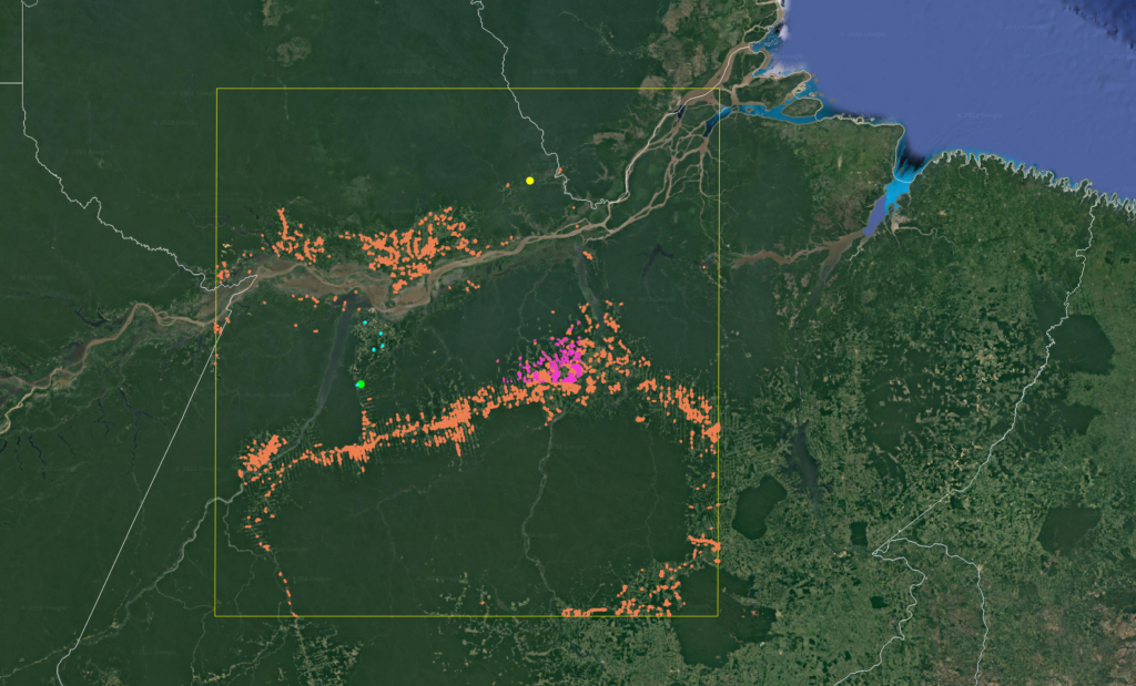
In addition to data capture and analysis, Earth Consult (U) Ltd offers customized drone solutions tailored to the specific needs of each client. This includes the selection of appropriate drone equipment, flight planning, and data management. By leveraging drone technology, the company provides clients with a powerful tool for environmental monitoring, forest inventory, and spatial analysis. Earth Consult (U) Ltd’s expertise in drone data capture, training, and analysis ensures that clients can achieve their objectives with precision and efficiency.